Transit
By MacRumors Staff
Transit Articles
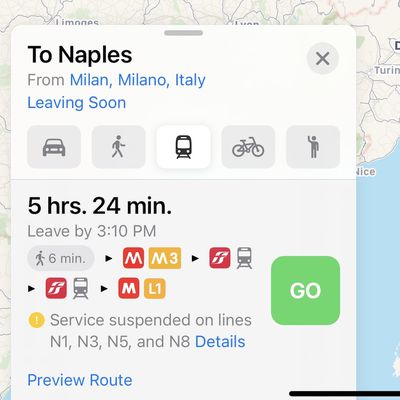
Apple Maps Now Provides Transit Directions Across Italy
Apple Maps now provides transit directions in many populous regions of Italy, expanding upon existing support in Rome. The feature can be accessed by selecting the Transit tab or button in Apple Maps on iPhone, iPad, Mac, or Apple Watch.
Supported modes of transportation include trains, buses, trams, and more in and between cities such as Milan, Naples, Turin, Palermo, Genoa, Florence, and...
Read Full Article 24 comments

Apple Maps Transit Directions Go Live in Iceland
Apple appears to have updated its Maps coverage to add transit directions in Iceland, with a focus on bus routes in and around the capital, Reykjavik.
Apple Maps users in the region can now select public transportation routes when getting directions between two locations.
Transit directions were first added to Apple Maps in 2015 with the launch of iOS 9. Maps initially only offered...
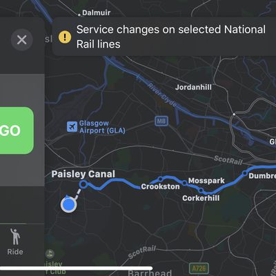
Apple Maps Real-Time Transit Information Now Available in Several More Countries and Regions
Real-time transit information in Apple Maps has been expanded to multiple countries and metropolitan regions, Apple today confirmed in an update to its Feature Availability page (via iphone-ticker.de).
In addition to regular public transport information, Apple now highlights several regions in which transit information is displayed in real time. These include the whole of Canada, England,...

Apple Maps Transit Directions Go Live in Various EU Countries
Over the last 48 hours, Apple Maps has expanded its transit directions coverage across Europe. Using the app, travelers in cities across France, Germany, Spain, and possibly other countries in the EU are now able to access departure times and transit routes for various modes of public transport including buses, trams, metro trains, and more.
Screenshot credit: @guillamet
Apple has yet to...
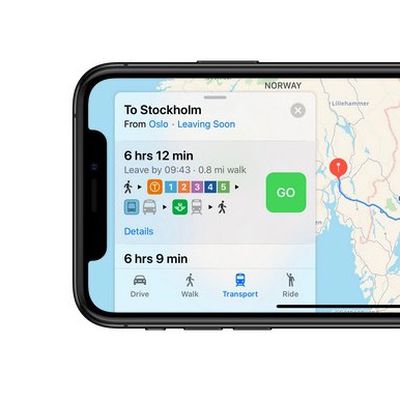
Apple Maps Gains Transit Directions for Denmark, Sweden, Norway, and Finland
Apple Maps today gained comprehensive transit directions for Denmark, Sweden, Norway and Finland, in the largest single combined update to its European coverage thus far.
The coverage includes train, tram, and bus routes in the capital cities of each country, including Oslo, Stockholm, Copenhagen, and Helsinki, as well as funicular connections where available and transit links across...
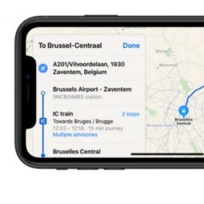
Apple Maps Now Provides Transit Directions Across Belgium
Following yesterday's Apple Pay launch in Belgium, Apple today updated its Maps app to include transit information across the country.
Apple has yet to update its official list of locations for which Maps offers Transit data, but several tipsters contacted MacRumors to confirm the information is already live.
The coverage includes train, tram, and bus routes in the main cities as well...
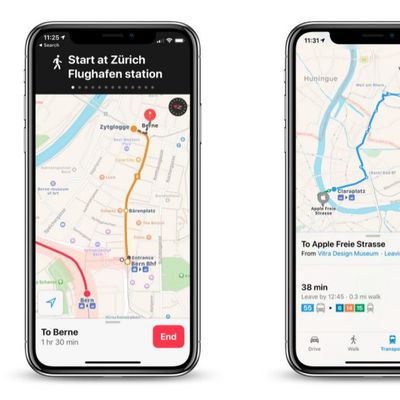
Apple Maps Now Provides Transit Directions Across Switzerland
Apple has updated its Maps app to include transit information for Switzerland, including indoor maps for the country's busiest airport in Zurich.
Apple has yet to update its official list of locations for which Maps offers Transit data, but several tipsters contacted MacRumors to confirm the information is already live.
Switzerland is renowned for its integrated country-wide transport...
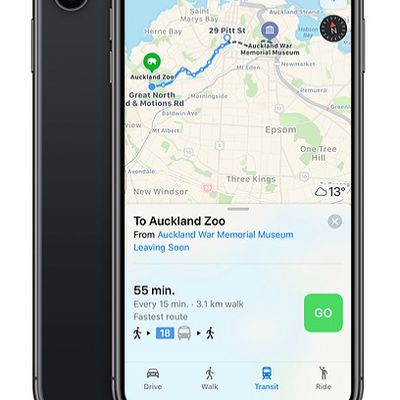
Apple Maps Now Provides Transit Directions Across New Zealand
Apple Maps now supports transit in New Zealand, enabling users to navigate with public transportation in most populated areas of the country.
In the largest city of Auckland, directions are available for NZ Bus routes, AT Metro trains, or the SkyBus shuttle to the Auckland Airport. In the capital area of Wellington, directions are available for Metlink buses and trains.
Between select...

Transit App Expands Real-Time Crowdsourced Data to 175 Cities
The developers of the Transit app this week announced the expansion of real-time crowdsourced data for buses, trains, streetcars, ferries, and so forth to 175 cities across the United States, Canada, and Europe.
Normally, the locations of public transportation vehicles are pulled from a transit agency's data feed, which can take anywhere from 10 seconds to five minutes to update. This can...
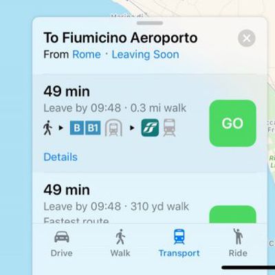
Apple Maps Now Supports Transit in Estonia and Rome, Italy
Apple Maps now includes transit information for Estonia and the city of Rome, Italy, enabling users in the areas to navigate with public transportation.
In Rome, transit data covers the city's public metro lines, buses, and tram routes, as well as the local Trenitalia network which includes the Leonardo Express that connects Roma Termini station and Roma Fiumicino airport in Lazio....
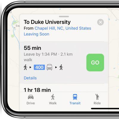
Apple Maps Now Supports Transit in North Carolina
Apple Maps now supports transit in North Carolina, enabling users to navigate with public transportation in several metropolitan areas across the state.
The largest transit options supported include CATS buses and LYNX trains in the Charlotte area, GoTransit buses in the Raleigh-Durham-Chapel Hill area, GTA buses in Greensboro, and inter-city PART buses in the Piedmont Triad area.
Apple...
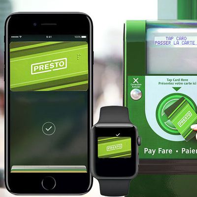
Toronto's TTC Transit System May Eventually Support Apple Pay
Toronto's TTC transit system, the fourth largest in North America, may eventually support Apple Pay for fare payments.
A rough mockup of the PRESTO card in Apple's Wallet app
Metrolinx, the transit agency that manages integration of the PRESTO card system in the Greater Toronto Area, recently detailed plans to support mobile payments within the coming years, according to the Toronto Star.
...
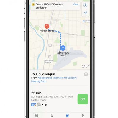
Apple Maps Adds Transit Directions in Albuquerque, New Mexico
Apple is beginning to update Apple Maps with transit directions in Albuquerque, New Mexico, allowing residents of the city to navigate around it using various methods of public transportation.
To enable transit between two locations within Albuquerque, tap the "Transit" tab at the bottom of Apple Maps once you enter your route. This will surface a series of transit stops on the trip, along...
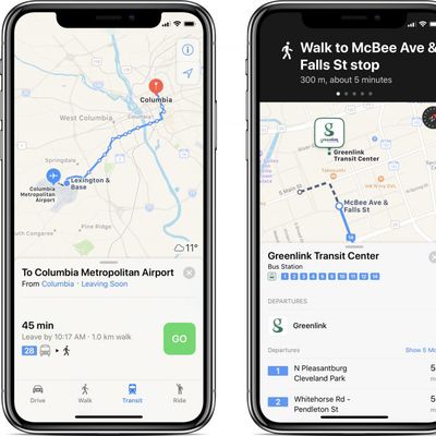
Apple Maps Transit Directions Now Available in Columbia, Charleston, and Greenville Areas of South Carolina
Apple Maps has been updated with transit data in Columbia, Charleston, and Greenville, enabling navigation and directions with public transportation in South Carolina's three largest metropolitan areas.
By selecting the Transit tab in Apple Maps on iPhone, iPad, or Mac, users can now access bus routes from The COMET in Columbia, CARTA in Charleston, and Greenlink Transit in Greenville. These ...

Apple Maps Transit Directions Now Available in Milwaukee, Wisconsin and Omaha, Nebraska
Apple recently updated its Maps app to add transit directions and data for Milwaukee, Wisconsin and Omaha, Nebraska, two places where transit information was not previously available outside of Amtrak routes.
Apple Maps users in Milwaukee and Omaha can now select public transportation routes when getting directions between two locations, with bus lines available in both areas.
Apple has...

Apple Maps Transit Directions Available in Tampa, Florida
Apple recently updated its Maps app to add transit directions and data for Tampa, Florida, according to Apple's iOS 11 Feature Availability website. Transit directions have been available in Miami, Florida since mid-2016, but have not expanded to other areas of the state.
Transit options available in Tampa include the TECO Line Streetcar System, several bus lines, and Amtrak, which connects to ...
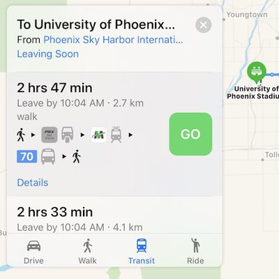
Apple Maps Transit Directions Now Available in Phoenix and Birmingham, AL Areas
Apple Maps has been updated with comprehensive transit data in the Phoenix, Arizona and Birmingham, Alabama areas, enabling navigation with public transportation options such as buses and trains in those regions.
In the Phoenix area, supported vehicles include Valley Metro buses and trains, and the PHX Sky Train at Phoenix Sky Harbor International Airport. Routes extend to and from suburbs...
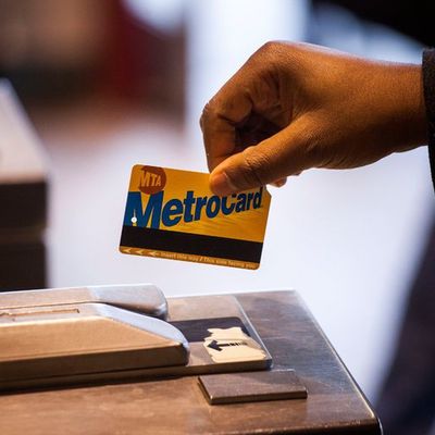
New York City Plans to Replace Transit MetroCard With Electronic Card Readers That Support Apple Pay
New York City is planning to replace its existing MetroCard transit payment system with electronic card readers that will allow New Yorkers to pay their subway and bus fares using Apple Pay, reports The New York Times.
A committee of the Metropolitan Transportation Authority this morning approved a $573 million contract for a payment system that mirrors the one in use for the London...
Apple Maps Transit Directions Expand to Ireland
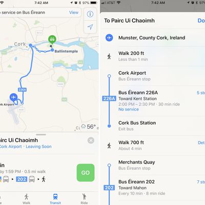
Apple Maps has added public transit directions for Ireland, as pointed out by developer Steven Troughton-Smith on Twitter. With the updated directions, users in Ireland can now choose from a few different public transportation routes when traveling around Ireland.
Transit directions are available in a few cities like Dublin and Cork, including transportation provided by Bus Éirann, Aircoach,...
Apple Maps Transit Directions Now Available in Taiwan
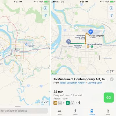
Apple recently updated its Maps app to add transit directions and data for Taiwan, one of the locations where hints of transit support surfaced months ago.
Maps users in Taiwan can now select public transportation routes when navigating across the country, with transit options available in Taipei, Kaohsiung, and other cities.
Support is available for the Taiwan Railway and Taiwan High...


