Apple Maps transit directions are now available in St. Louis, Missouri and several metropolitan areas in Virginia, including Richmond and the Hampton Roads region of Virginia Beach—Norfolk—Newport News.
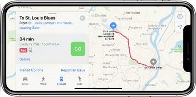
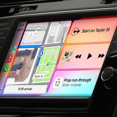
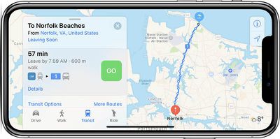
By selecting the Transit tab in Apple Maps on iPhone, iPad, or Mac, users can now access MetroBus bus routes and MetroLink train routes in the St. Louis area, GRTC bus routes in the Richmond area, and HRT bus, train, and trolley routes in the Virginia Beach—Norfolk—Newport News area, including arrival and departure times.
Apple Maps has aggressively expanded its transit-supported cities over the past two months to include Tucson, Arizona; Albuquerque, New Mexico; Orlando, Florida; and Columbia, Charleston, and Greenville in South Carolina.
When the feature launched in 2015, it was initially limited to Baltimore, Berlin, Boston, Chicago, London, Los Angeles, Mexico City, New York, Philadelphia, San Francisco, Sydney, Toronto, and around 300 cities in China. Since then, Apple has expanded the feature to dozens of additional cities around the world.
A list of cities with transit support in Apple Maps can be found on the iOS Feature Availability page on Apple's website, although it has yet to be updated to reflect these latest additions in Missouri and Virginia.
(Thanks, Bernd and Ram!)


