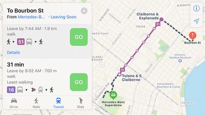
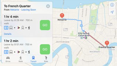
Apple Maps has been updated with comprehensive transit data for the New Orleans, Louisiana metropolitan area, enabling iPhone users in the city and select suburbs to navigate using public transportation, including RTA buses and streetcars. Jefferson Transit buses and Amtrak routing is also available in the area.
Apple introduced Transit in Maps as part of iOS 9 in select cities around the world, including Baltimore, Berlin, Boston, Chicago, London, Los Angeles, Mexico City, New York, Philadelphia, San Francisco, Sydney, Toronto, and over 300 cities in China. The feature has its own tab in Apple Maps on iOS 10 for entering directions.
Transit continues to expand to several other cities, including Atlanta, Columbus, Dallas, Denver, Honolulu, Houston, Kansas City, Melbourne, Miami, Minneapolis–Saint Paul, Montréal, Pittsburgh, Portland, Prague, Rio de Janeiro, Sacramento, Salt Lake City, San Antonio, San Diego, Seattle, Vancouver, and Victoria.
In December, Apple expanded transit directions throughout Great Britain, beyond the London area already supported. The feature now works almost anywhere in England, Scotland, and Wales, such as Birmingham, Manchester, Liverpool, Newcastle, Sheffield, Glasgow, Edinburgh, Bristol, Portsmouth, Nottingham, and Cardiff.
Mardi Gras is February 28, with parades taking place in New Orleans and Southern Louisiana throughout the month.
(Thanks, Bernd!)














Top Rated Comments
When do we get offline maps?
I mean, I appreciate that it shows the temperature right on the map, for whatever reason. But really.