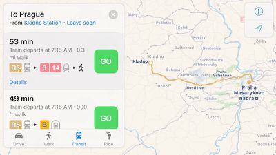
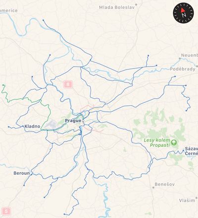
Apple continues to slowly expand the transit functionality of Apple Maps, today adding Prague, Czech Republic as the third city in Europe behind London and Berlin to be supported.

Apple Maps transit data in Prague includes the Prague Metro and Esko Prague commuter rail, as well as local trams and buses and even Czech Railways' seasonal Cyklohráček "excursion train" targeting cyclists and families.

Prior to today's expansion to Prague, Apple last week added transit information for San Diego, California and areas of British Columbia, Canada including Vancouver and Victoria. Apple Maps transit data is now available in roughly two dozen metropolitan areas scattered around the world, with an additional concentration of cities in China visible to users only when in the country.
(Thanks, Ram!)


Top Rated Comments
In my own personal experience as a developer for such apps, even seemingly well run public transit agencies have terrible IT Infrastructure, poorly conceived APIs and cobble together data from several systems - Realtime data, scheduled, GIS (walking directions), and some sort of deviation notification system.
In the end, you end up with a custom solution per town, and sometimes even by form of transit (for example bus company and light rail are two different entities). Hence, the slow pace of progress.
-http://appleinsider.com/articles/16/07/07/why-apples-transit-maps-are-rolling-out-so-slowly
Google maps offers more options
Firstly transit
Secondly fantastic navigation with line suggestions
Thirdly street view
And so much more!
In Poland for 16GB iPhone 6S we have to pay around 800€ and we get 1/2 of iPhone. That's true. I hope Apple will notice central and eatern Europe.
[doublepost=1470058905][/doublepost]Yeah i kinda was optimistic in my gestimate :)