Apple Maps has been updated with all-new transit data in Portland, providing users with aerial tram, bus, MAX light rail, WES commuter rail, and downtown streetcar routing in Oregon's most populous city and the surrounding metropolitan area. The public transit information is supplied by the city and regional transportation agency TriMet.
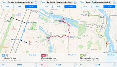
Apple Maps transit routing and trip planning is available throughout most of Greater Portland, including connections with the suburbs of Beaverton, Gresham, Hillsboro, Lake Oswego, Milwaukie, Oregon City, Sherwood, Tigard, Tualatin, West Linn, and smaller communities, along with the nearby city of Vancouver, Washington.
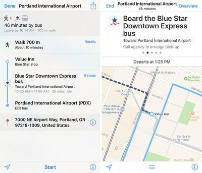
Portland is the latest North American city to support Apple Maps transit after Austin and Montreal. Other regions with Apple Maps transit directions include Baltimore, Berlin, Boston, Chicago, London, Los Angeles, Mexico City, New York City, Philadelphia, San Francisco, Sydney, Toronto, and 30 cities in China.
Transit mode was added to Apple Maps as one of the headline features of iOS 9 last year.
(Thanks, Ram!)












Top Rated Comments
http://www.apple.com/ios/feature-availability/
Apple needs to remember that they are a hardware company - make only as much software as is necessary to sell the hardware. In this case, Maps might be a hedge to ensure access to a navigation app (should others stop supporting iOS).